
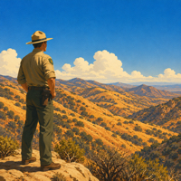
 Summer’s here, the hills are dry, and the Angeles National Forest just elevated fire danger to HIGH. Effective June 12, 2026, a new forest order is in place covering the entire Angeles National Forest and San Gabriel Mountains National Monument, running through December 31, 2026.
If you’re heading out to the forest this summer – hiking, camping, off-roading, whatever brings you up there – this affects you directly.
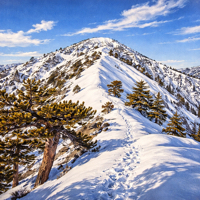 Forest managers restrict summit approaches after heavy snow and rescue operations — check official alerts before heading into the San Gabriels.
 I’ve hiked the Sam Merrill Trail more times than I can count. Echo Mountain. Mount Lowe. The old incline railway grade that reminds you California used to dream bigger than it does now. These aren’t just trails to me – they’re places I’ve carried memories into and brought new ones out of every single time.
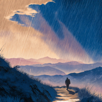 Last week’s storms slammed the length of California, dumping heavy rain, triggering floods and debris flows from the Coast Range to the Sierra and through the Transverse Range all the way to the tip of the Peninsular Mountain Range.
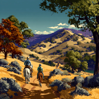 State Park and Recreation Commission formally classifies Wildwood Canyon State Park; the Yucaipa day-use area — open since 2003 — now moves into long-range planning with California State Parks.